
Novi Neighbors and the Public Block Record
Public sources answer different questions about a Novi block. A parcel map establishes land geometry and PINs. A recorded document can identify parties to a transfer. City maps add district and feature context, while a library source can place an address in a past year. No one source establishes every person who may be connected to a nearby address. Use the table as a source-by-source boundary for a neighbors search.
| Source | What It Shows About a Block | Access |
|---|---|---|
| Oakland GIS and Property Gateway | Parcel boundaries, PINs, adjacent features, address context, and available map products | Public search and map; some products or reports can have payment limits |
| Novi Map Gallery | Parcels, zoning, flood, school, cemetery, precinct, street, public-property, and sales context | Public maps; not a resident roster |
| Oakland Super Index | Recorded owners or parties and transfer instruments associated with individual parcels | Free index; detail or images can require payment |
| MVIC and QVF | Lawful registration, status, address, and district context within voter-record rules | Limited public lookup; fuller file requests are restricted and scoped |
| Novi permits or code records | Address-linked work, inspection, project, or chronology clues | Permit or PIN route, account access, or a narrow city FOIA request |
| Historical directories and local collections | Dated occupant, subscriber, or owner notation where a volume covers the address | Library, historical-society, archive, or licensed-access conditions vary |
| City neighborhood inventory | Community names and available public contact pathway | City list; private member and leadership details are not published |
An owner mailing address can differ from the physical parcel, and a recorded party may not occupy the land. Each source should be described as a parcel, ownership, map, voter, or historic-record connection, rather than a blanket statement about Novi neighbors.
Map Novi Neighbors From an Address to Adjacent PINs
The adjacent-parcel method keeps a block search tied to land records instead of inference. First validate the address with USPS and the Novi street map. Then use the address or a known PIN in Property Gateway, select the target parcel, and note its KeyPIN and map scale. Pan or zoom to parcels that touch the target boundary and use road geometry to separate a true adjoining lot from an address that only appears nearby.
- Search the full address or PIN in Property Gateway. The rendered page supports a full or partial address or PIN after a five-character minimum.
- Open the target parcel and record the PIN, situs address, and any displayed legal description or map context.
- Pan and zoom to the parcels that touch the target. Select each feature and preserve its own PIN and address context.
- Move each PIN to the property or tax record for its named owner or mailing information, remembering that a mailing address is not proof of occupancy.
- Search each parcel’s relevant parties in the Super Index to independently confirm a deed or other recorded transfer. For a full roadway sequence, use the Novi Street Directory.
Where a live client offers measure or selection tools, use them as map aids rather than a legal survey. The inspected static materials did not establish a universal live radius or buffer label, so the dependable method is parcel-by-parcel review through the PIN.
Novi Neighbors and Map Gallery Geography
The Novi Map Gallery adds record geography around a block. Its public map set includes tax parcels, residential sales, zoning, flood hazard, public safety, school, cemetery, voting precinct, street, and public-property layers. A layer can show why two adjoining parcels have different district context, why an address across a road carries another postal or municipal label, or why a cemetery or public parcel has no private tax owner.
That layer context is useful when comparing Novi neighbors, but it is not an address book. A voting-precinct layer explains jurisdiction. A cemetery layer can support historic land context. A zoning or flood layer describes the parcel area. Follow a map observation to the PIN and then to the appropriate county land record if ownership needs confirmation.
Novi Neighbors in Property Gateway
The Oakland County Property Gateway is the public starting point for an address or PIN and map path around a Novi parcel. It offers one search field that accepts full or partial address or PIN input, including the documented wildcard and comma-separated PIN options. The public home search is not a guaranteed owner-name search, so a name-first neighbors search may need a related assessing record or a parcel already identified by address.
On a parcel card, preserve the exact labels for owner, owner mailing address, situs address, assessed or taxable values, sale history, exemptions, and map information. A homestead or principal-residence exemption is a tax claim, not proof of who currently occupies the parcel. Mapping Services also offers parcel maps, aerials, contours, and flood products, with free and paid options depending on the product.
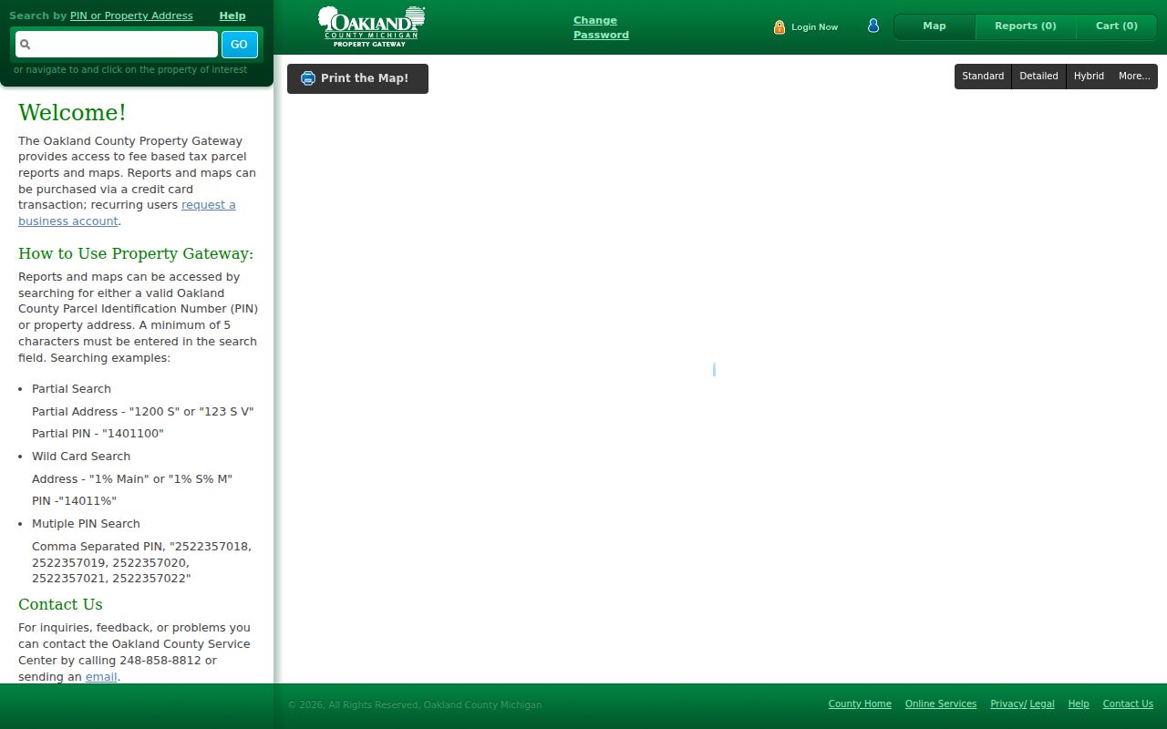
The Property Gateway entry point connects a Novi address to the parcel map and PIN, which is the bridge to a separate ownership or deed record.
Novi Neighbors, Parcel Layers, and the Super Index
The public Oakland parcel layer exposes the KeyPIN bridge used to carry a map feature into land-record work. Property Gateway identifies the map parcel; the Oakland Super Index supplies the recorded-instrument trail. Search both grantor and grantee, then use recorded or file date, instrument number, document type, subdivision, block, and lot when a modern address does not return a useful record.
A recorded deed can identify parties, an instrument number, date, document type, legal description, and an image or copy route. It does not identify every person associated with the block. Search the current owner as a grantee in the most recent deed, read the prior grantor and legal description, then move backward only when the PIN, lot, block, or description supports continuity. The free index is an entry point; document detail, download, or printing may carry a charge.
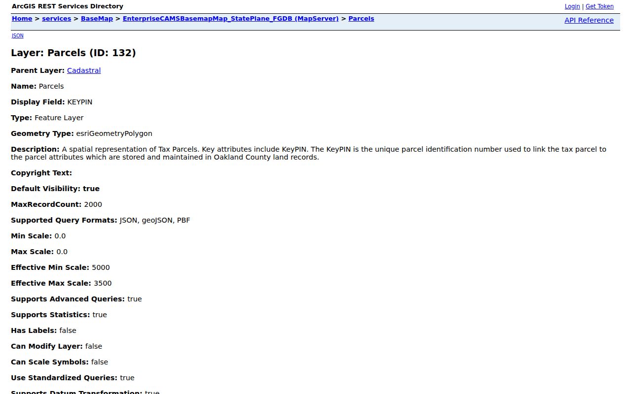
The parcel-layer view shows why the PIN should be carried with each adjacent feature instead of relying on a nearby street number alone.
Note: A land transfer documents a transaction and legal description, not a complete list of people who use or visit the parcel.
Novi Neighbors and Voter-Record Boundaries
The Michigan Voter Information Center is a public voter-service lookup, not a list of Novi neighbors. The full Qualified Voter File request can be scoped to a state, county, jurisdiction, district, school, village, ward, or precinct and may include lawful voter-history selections. Its scope supports election administration and defined records research, not a reverse-engineering method for protected locations or private households.
The QVF form can include complete name, residential address, mailing address if available, year of birth, registration date, status, voter ID, selected history, and district codes. It withholds driver-license and state-ID numbers, month and day of birth, phone, email, digitized signature, last four Social Security digits, declined-registration information, and other protected fields. Michigan does not register voters by party, and participation history does not reveal a ballot choice. Never infer that every person at an adjacent address is in one household.
Novi City Clerk maintains local election functions, while Oakland County Election Services handles countywide questions. Address confidentiality protections apply to ACP participants and protected voters, and the public record route is not authority to expose them.
Novi Neighbors and Public Community Paths
The City of Novi neighborhood inventory identifies neighborhood and condominium communities. It is useful for finding the public name of a community and any published contact path, not for locating private membership or leadership information. City communication materials specifically caution that HOA leadership information is not for public distribution. Confirm a community’s current status on the city page before relying on an older reference.
| Public community name | Appropriate use |
|---|---|
| Autumn Park | Identify the community name through the city inventory and look for a public association path. |
| Beacon Hill Meadows | Use the city listing for community context, not a member roster. |
| Briarwood Village | Check whether the association publishes bylaws, dues, meeting, or public contact information. |
| Echo Valley Civic Association | Use only the public community identification and published pathway. |
| Island Lake | Keep an association reference separate from household identity. |
| Meadowbrook Townhomes | Use the city inventory as a starting point for a public association inquiry. |
| Willowbrook | Confirm current community information through the official city listing. |
Meadowbrook Lake says a printed neighborhood directory is available by contacting its board. That is a private-board path, not a public roster, and it should not be treated as a source for publishing names. No comprehensive public citywide civic-club, block-watch, congregation, or association membership roster was located in the reviewed sources.
Review the Novi neighborhood association inventory for the current list before contacting any public pathway.
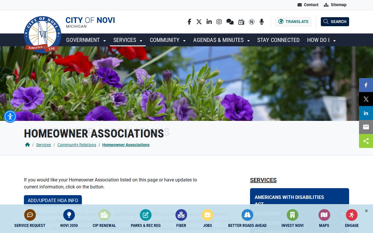
The city inventory provides community names and public association context without turning private board or member information into a block directory.
Novi Neighbors in Historical Block Context
Historic neighbors require a dated source and a narrower claim. A directory street index may record a subscriber, head of household, or owner notation for one address and year. The Novi Public Library Local History Room adds transcribed 1844–1851 tax assessment rolls, burial permits, maps, photographs, oral histories, school-board minutes, vertical files, and yearbooks. Those materials can place a family or land reference in a time period, but they do not identify a current household.
Novi Cemetery’s map or list, an obituary, and a probate or deed record can also explain a historic neighboring-land connection. The Local History Room and county historical collections are the proper fallback when an old street name, changed municipality label, or address form creates a gap. Record the year, source, street spelling, and municipality label. That preserves the geography of a Novi block without projecting a historical result into the present.
Novi Neighbors: Official Records and Commercial Tools
Official records and commercial neighbor tools serve different purposes. County and city sources identify what they hold and let a searcher trace a result to a custodian. Commercial tools compile public filings, marketing data, and purchased datasets, so a result can merge same-name people, repeat an old mailing address, or omit protected records. A block question should begin with the parcel and PIN, not a compiled profile.
| Source category | Strength | Limit |
|---|---|---|
| Official parcel, map, and deed records | Traceable parcel geometry, recorded parties, and custodian route | Shows land or transaction roles, not every household member |
| Voter-service and authorized QVF records | Defined registration and district context under Michigan rules | Protected fields and confidential addresses remain unavailable |
| Library and historical sources | Dated local context for a past block or family | Coverage, access, and address forms vary by collection |
| Commercial compiled tools | May provide a broad lead to verify elsewhere | Can be stale, merged, incomplete, and subject to separate opt-out processes |
If an official record appears wrong, retain the record ID, date, and source, then request correction or annotation from the custodian. Removing a commercial copy does not correct the county or state record behind it.
Novi Neighbors Privacy and Lawful Use
Michigan FOIA, MCL 15.231 et seq., opens public records subject to exemptions. It does not create access to unlisted contact information, utility or delivery data, protected-voter addresses, private association membership, or other personal details outside the ordinary public record. Michigan’s Address Confidentiality Program, Act 301 of 2020 and MCL 780.851 et seq., gives qualified survivors a designated address and mail-forwarding route for government, school, and voter uses through a certified advocate.
Recorded land documents can contain personal information, but public availability does not remove privacy or safety duties. Use the recorder’s correction or redaction process for improperly recorded information. Michigan restricts motor-vehicle data under federal DPPA and MCL 257.208c. For a city-held public record that is not online, submit a narrow request to the City of Novi; county and state custodians must handle their own records.
Lawful personal use. Use a Novi neighbors search for personal, historical, civic, or property curiosity. Michigan anti-stalking law, MCL 750.411h, does not permit threats, harassment, surveillance, or attempts to locate a protected person.